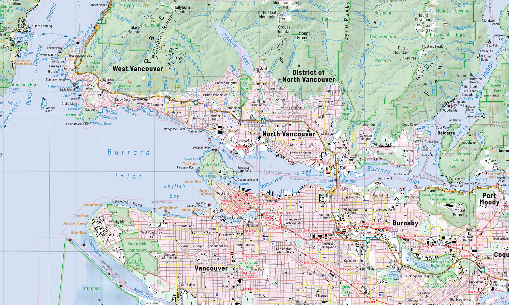
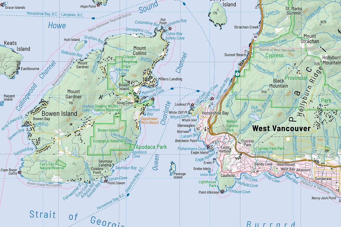
Vancouver and Surrounding Area
December 2019, course «Map Production» at the Centre of Geographic Sciences
We were asked to create a topographic map of an urbanized area within Canada using different datasets.
Design Objectives
Deviating from the cartographic standard and inspired by a modern Swisstopo map, I decided not to use a
serif font for water features. Therefore, I used only one font. Another design element I have adopted from a
Swisstopo map are some of their colours.
I would like to point out the use of red for train tracks which emphasize public transportation in a subtle
way over the street network in Vancouver.
Also, I like legends that do not just represent features that are lined up in a simple list or table.
Therefore, features are grouped and visualised in a made-up map.
Awards
- Arthur Robinson Print Map Award (tie, 2020)
awarded by Cartography and Geographic Information Society
Software, Technology, Data Sources and Skills
- ArcGIS Pro 2.4
- Blender (to create hillshade)
- Adobe Illustrator 2019 (to create symbols, legend and road shields)
- Adobe Photoshop 2019